Projects
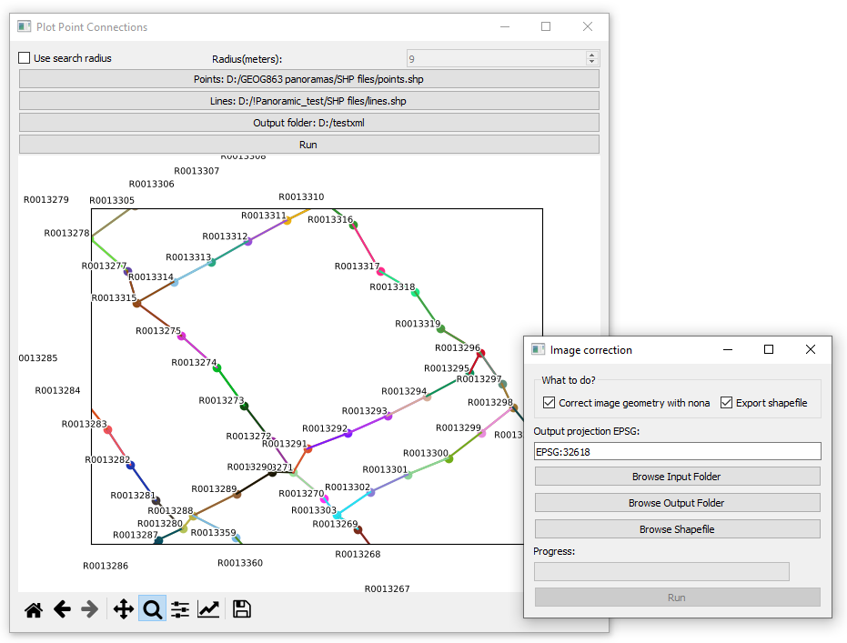
DIY Streetview Tools for Krpano Panoramic Viewer 2023
Python tools for linking panoramic images into a self-hosted virtual tour, a-la Google Streetview using self-hosted Krpano panoramic viewer. These tools allow you to create a custom Streetview-like experience by connecting and displaying your panoramic images with KRPano.
Python GeoPandas PyQT5 Hugin tools
Read More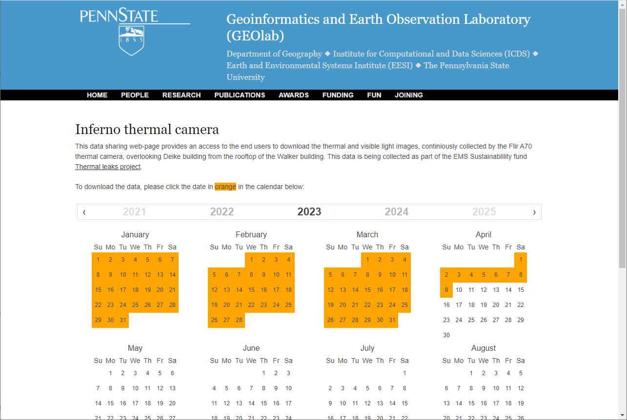
Inferno thermal camera data sharing web-application 2022
Web application for continious thermal camera data collection, sharing and time series prediction with neural network
Python Javascript PredRNN
Read More
College Court Appartments Diy-Streetview 2022
This project uses ArcGIS API for JavaScript and KRPano panoramic viewer to create a DIY 360 panoramic tour a-la Google Streetview of the College Court Apartments in State College, PA.
Javascript ArcGIS API for Javascript Dojo Toolkit
Read More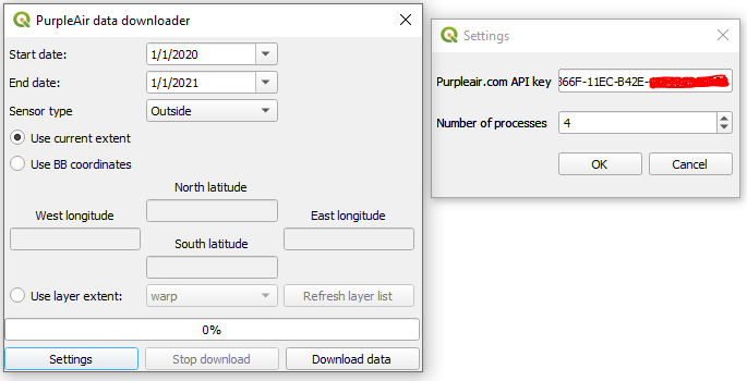
PurpleAir data downloader plug-in for QGIS 2021
A QGIS plugin to download air quality data from PurpleAir crowdsourced monitoring website.
Python QGIS Multi-processing Concurent futures
Read More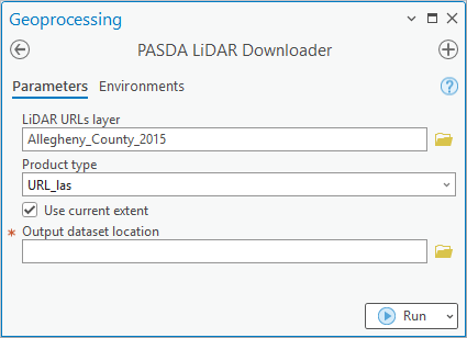
PASDA LiDAR downloader for ArcGIS Pro 2021
A script tool automates downloading LiDAR files and products from PASDA for easier access by end-users.
Python ArcPy ArcGIS Pro
Read More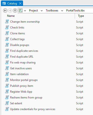
UtilityToolbox: an ArcGIS Pro toolbox to automate administrative tasks 2019
An ArcGIS Pro toolbox and standalone Python scripts for GIS administrators to automate various ArcGIS Enterprise/ArcGIS Online tasks using ArcPy and the ArcGIS API for Python
Python ArcGIS API for Python ArcGIS Pro
Read More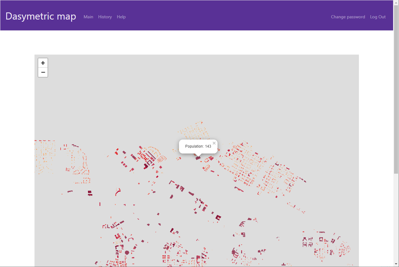
DasyWeb: web-based dasymetric mapping application 2019
DasyWeb is a web-based tool that simplifies the process of creating dasymetric maps for geographers, providing fine-scale estimation of urban population using building parameters.
Python Javascript GeoPandas Leaflet
Read More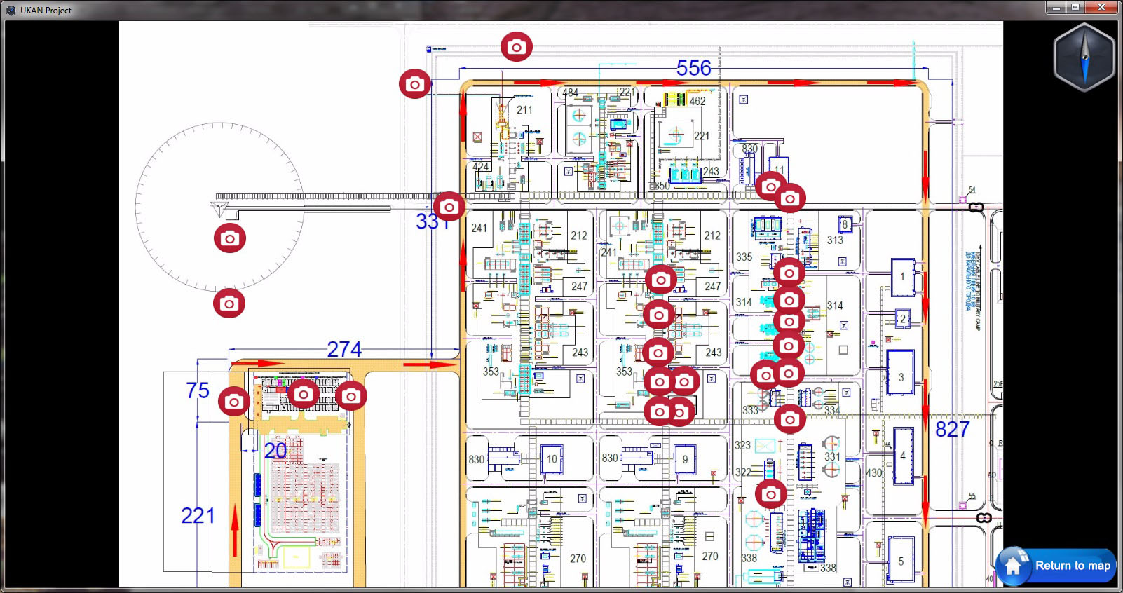
Panoramic tours for UKAN Project, Uzbekistan 2016
I created panoramic tours of a gas processing plant construction site to improve progress reporting.
Javascript Panoramic images Web-GIS
Read More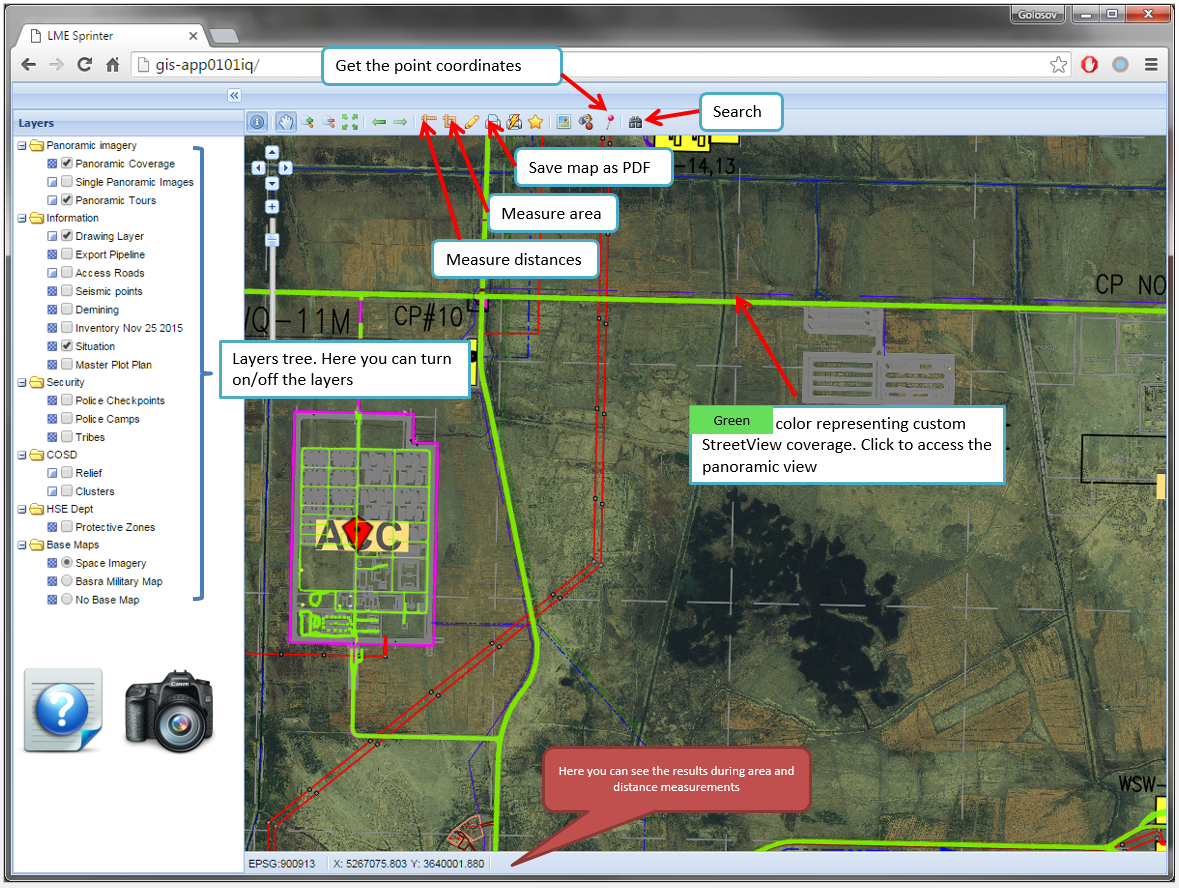
Sprinter Web-GIS 2015
A web-based Sprinter Web-GIS provides users with panoramic images and facilitates the searching of spatial information.
Javascript Panoramic images GeoServer OpenLayers
Read More