DIY Streetview Tools for Krpano Panoramic Viewer
I've designed two Python tools, along with a user-friendly interface using PyQt5, to facilitate the creation of self-hosted virtual tours. These tours are akin to Google Street View, allowing users to seamlessly navigate through linked panoramic views. There are two scripts - convert_panoramas.py and visualize_connections.py.
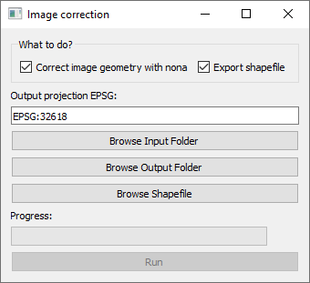
convert_panoramas.py performs geometric correction on the input panoramic images using the embedded compass and gyro information from the image XMP tags. To reproject the image, it uses the Nona application from the Hugin tools. Additionally, the script creates a point shapefile representing the locations of the input panoramic images.
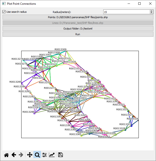
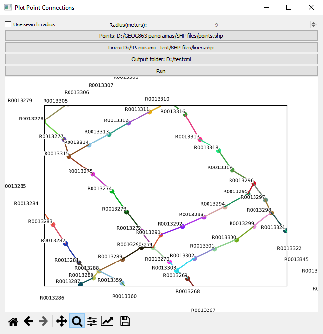
The second script, visualize_connections.py, links the spherical panoramas to one another by finding the nearest neighbors within a specified search radius or by using a line shapefile representing links between panoramas. Users can create these links in GIS software such as QGIS.
View on GitHub Download Windows binaries


