DasyWeb: web-based dasymetric mapping application
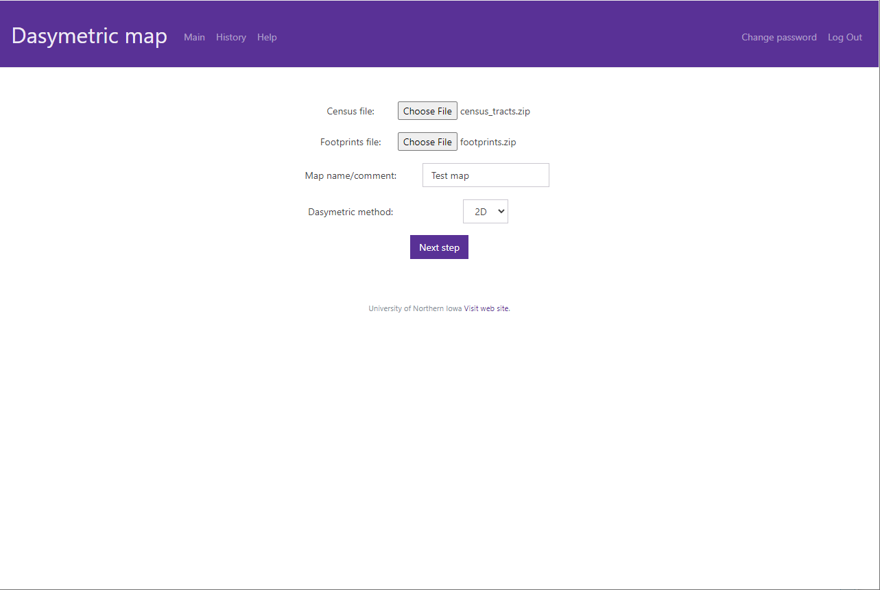
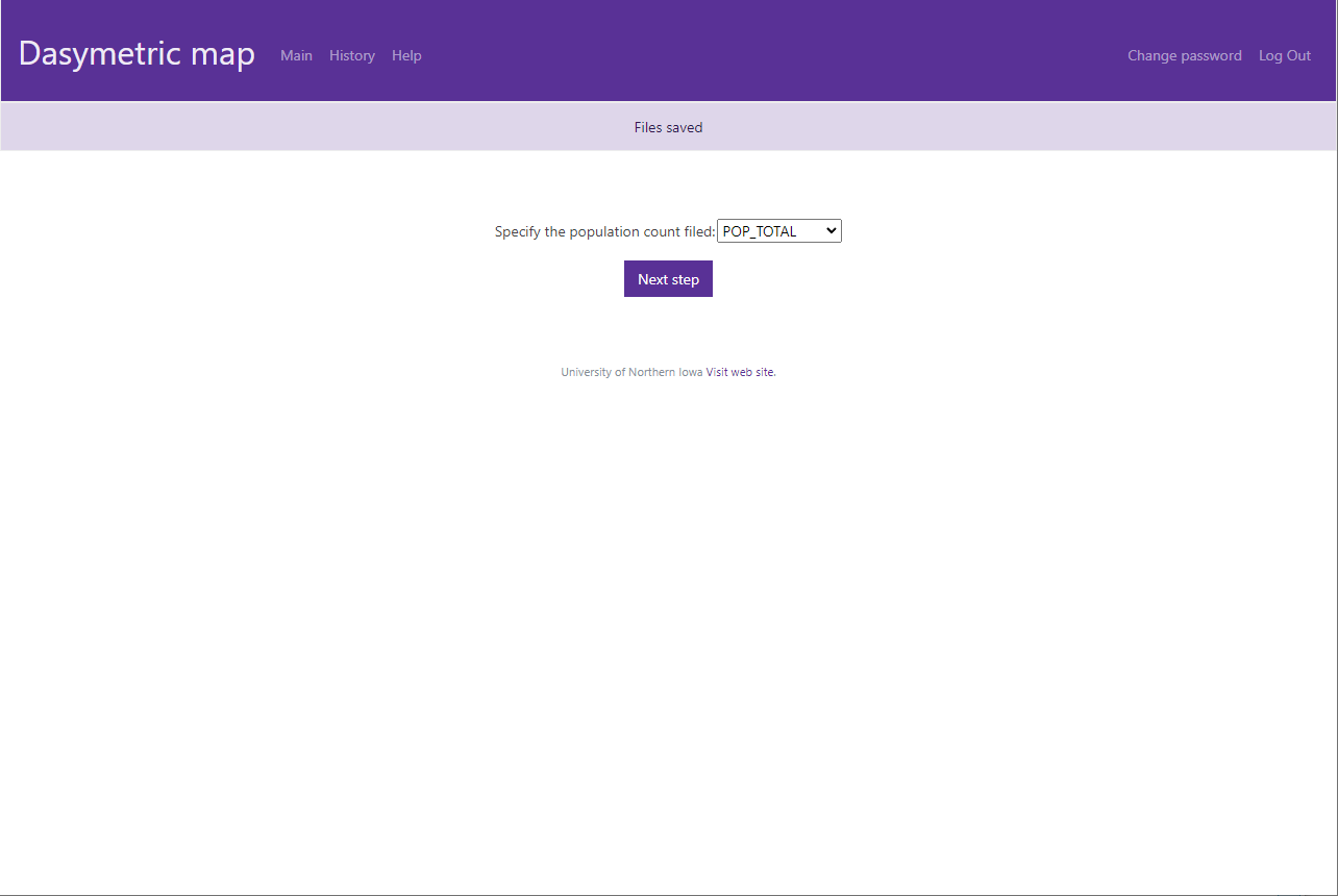
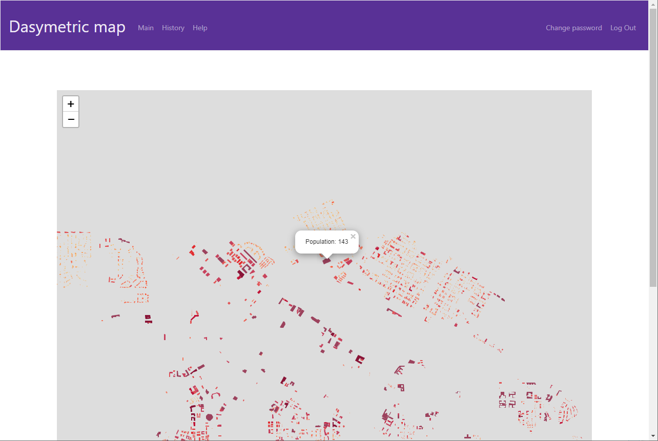
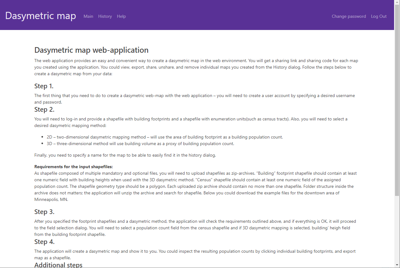
This web application designed to assist wide audience in creating dasymetric maps, which provide fine-scale estimation of the urban population using building parameters as a proxy value to assign population counts to individual buildings. The web application aims to provide an easy-to-use, publicly accessible tool using open-source technologies, which is not currently available in the market. Unlike other known tools for producing dasymetric maps that are extensions for commercial or open-source desktop GIS, the web-based application eliminates the complications in accessing the dasymetric mapping technology for novice users. The primary objective of the tool is to fill the gap and provide a web-based implementation of dasymetric mapping tools.
